
3D Scanning & Modeling
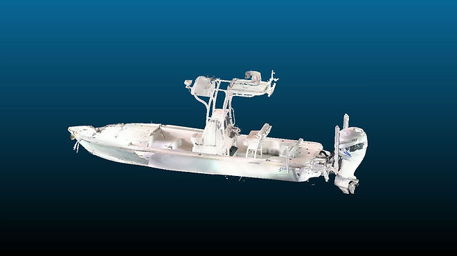
Quest Engineering delivers high-definition 3D laser scanning, 3D LiDAR scanning, drone, and photomapping services to capture precise, measurable digital records of accident scenes. We preserve perishable physical evidence—including vehicles, equipment, structures, and roadways—before the original environment changes or becomes inaccessible.
Data-Driven Accident Reconstruction & Failure Analysis
Our advanced scanning technology records millions of precise spatial data points. This creates an exact three-dimensional representation of the environment. Quest engineers utilize this high-fidelity point-cloud data to evaluate critical variables, including:
-
Roadway Geometry & Sight Lines: Accurate mapping of grades, curves, and obstructions.
-
Vehicle Crush Damage: Detailed spatial profiling used to calculate impact forces.
-
Spatial Relationships: Precise positioning of objects, debris fields, and skid marks.
Exhibits & Visual Forensic Evidence
Beyond engineering analysis, our 3D scans provide a rock-solid foundation for legal presentations. We transform complex technical data into clear visual assets that can be easily understood:
-
Accurate 3D models and animations
-
Computer-aided accident simulations
-
High-impact expert exhibits and trial presentations